2022-3
Traveling the Gulf Coast Route
To
Poverty Point World
Heritage Site
 |
| Poverty Point, World Heritage Site along the Mississippi River |
Louisiana
Campground: Poverty Point Reservoir State Park. $16.50 half off price, electric and water. Nice shaded site back-in, Paved pad. Note pull-thru sites do not have much shade at all.

Campgounds: others listed on my FB pages
I’m posting many updates on my FB page as I can provide more immediate photos and notes as they occur. But this place, Poverty Point in Louisiana has been on my bucket list for a number of years and felt it deserved a full report.
 |
| Biloxi Mississippi |
 |
| Pasgagola Mississippi |
 |
| Magnolia |
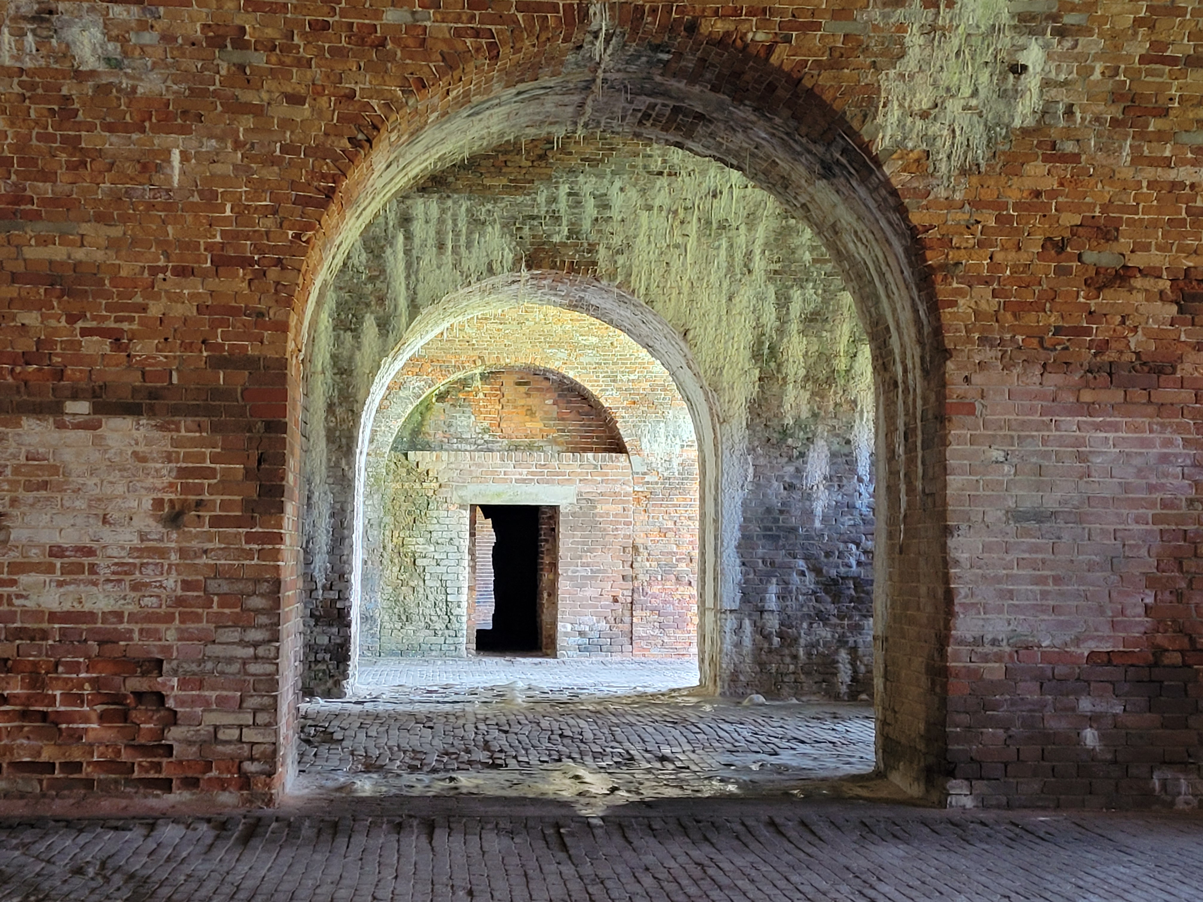 |
| Fort Morgan |

 |
| Gulf Shores State Park, miles of bike paths |
 |
| Gulf Shores Alabama |
I’ve been traveling along the Gulf Coast through the panhandle of Florida, Alabama and Mississippi.
Expenses
Wondering if the price of fuel and campgrounds would become overwhelming. After not quite a month on the road I’ve been pleasantly surprised by these numbers.
Average Daily cost based on 22 days out:
Diesel Fuel: $19.00 per day average
Campground fees: $18.30 per day average
That’s not bad at all. I’m trying to stay at campgrounds for 3 or 4 days but that will most likely change as I continue my journey. And I’ll keep you apprised of the changes in costs as I travel this summer.
I have not done hardly any boondocking, as the summer heat as already kicked into the 90’s. Not bad during the morning hours, but would rather have electric hookups by mid afternoon and settling in for the evening.
POVERTY POINT a World Heritage Site
 |
| a 2 mile path leading around to the mounds and 6 crescent shaped ridges |
First off the location is named after the most recent farmer/land owners. The land is a mix of clay and dirt, not ideal for farming. Much of the site had been farmed and a much of the 6 ridges which were originally only a few feet to 5 feet in height. They have since been worn down through age and those farming activities. The site was first discovered via a fly over, which showed clearly the 6 large crescent shaped ridges or C shape design. The broad flat ridge tops would have been used for staging their dwellings, cooking and daily activities. A number of mounds were also created. This is the largest earth works design in the New World by Hunter Gatherers as early as 1650 B.C. That’s over 3,500 years ago. Hunter Gatherers did not farm or plant. Existing on hunting and fishing as well as gathering nuts and berries and such in nature.

 |
| the ridges are defined by not mowing the grass over them |
 |
| largest mound A in the shape of a bird effigy |


 |
| great to be able to use Little Zippy to travel between sites as it was getting in the 90's |

The plaza at the center of the C shaped ridges covers 43 acres. 40 circles and arcs made of poles that were approx. 2 ft in diameter and buried as much as 9 ft deep. Could they have been the skeleton of large huts. No evidence is available to make that assertion.

The site, imagine over 3,000 years in the past, was most likely a major site for trade as evidence of products and materials for as far away as the Mid-West, northern Michigan and as far east as the Appalachian Mountains.
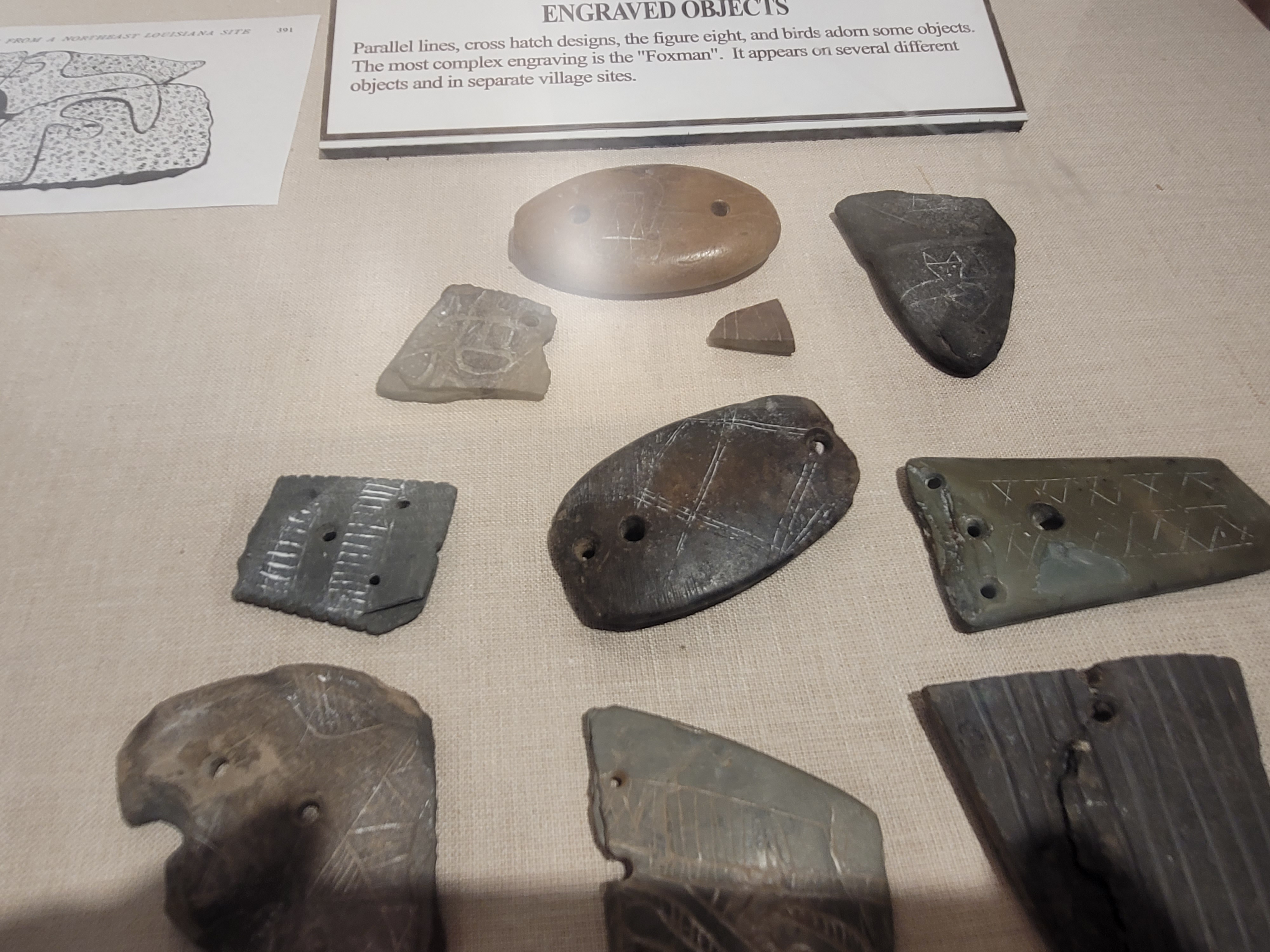
Thousands of perfectly formed spear tips have been recovered from the area as well as small ornaments and beads.

 |
| one of the many circle sites the tree posts would have been at deep as 9 feet indicating they were probably very tall above ground |


I’ve traveled throughout the U.S. over many years and have seen numerous Indian Mounds mostly east of the Mississippi River. From south Florida on up through the Mid-West. The extent of the Native Indian population across the United States was so large, it is almost impossible to imagine.
What an education to learn more about the history of this country and land.
More Photos:
Old Rusted Out Trucks, along the Forgotten Coast Fl
No comments:
Post a Comment