2014-27
New Mexico
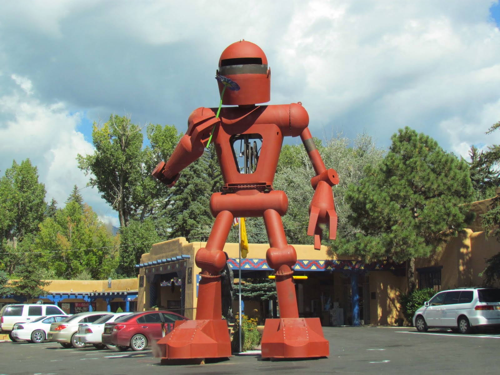 |
| Taos NM |
Campground: Storrie Lake St Park. $14.00 water/electric. Dump station not working during my visit. 10 over air tv stations. Good Verizon cell service. Walmart a couple miles away.
I had a great talk with one of the rangers here at Clayton Lake State Park. As you know from last weeks report, there are dinosaur tracks here, but the ranger has seen tracks throughout this NE corner of New Mexico. How cool would that be to go hiking and find dino tracks along the way.
Bear proof trash cans are used in the park since bears have been seen in the state park and occasionally mountain lions (cougars).
Another very interesting thing he was involved in was the building of their welcome center here. It’s a hay bale construction. Using used steel framing, the bales of hay were pinned into place using rebar, then the hay was covered with a stucco type material. The walls are two feet thick and insulate the building both summer and winter. They rarely ever turn on the a/c in the summer and only turn on the heat after about a month of really cold weather. The ceilings were insulated using a shredded newspaper insulation which is very thick. He told me he was one of the builders and it’s been so successful that they have built others at many of the other state parks in New Mexico as needed. The roof tiles which look like slate are in fact recycled tires and plastic bottles.
Distance traveled: 157 miles
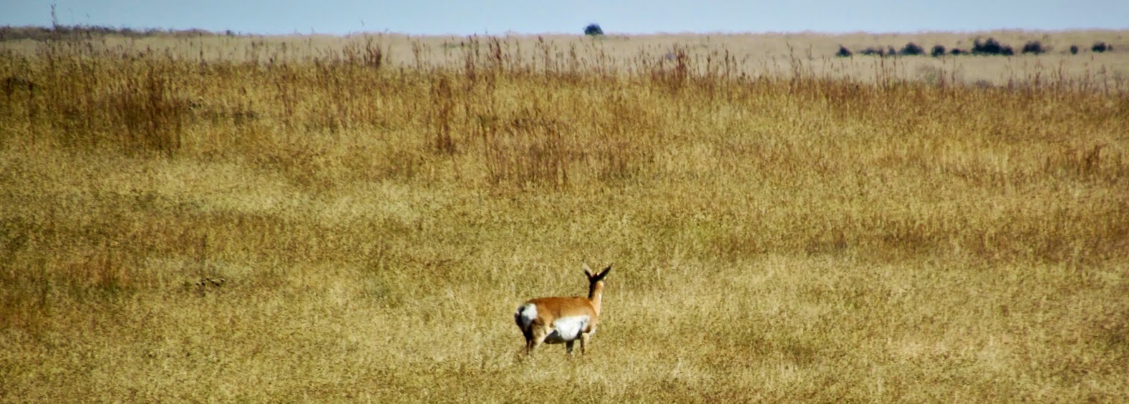 |
| Prong horn |
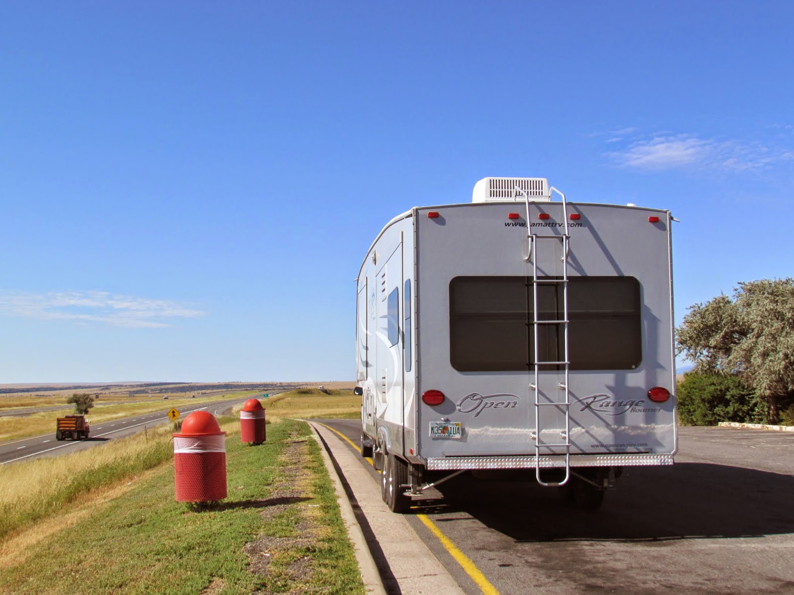 |
| I-25 rest stop |
My drive today along NM-412 and Interstate 25 was a dream. The high desert landscape opened up all that grazing land looked stunning with mesas and buttes and mountains off in the distance. Prong Horn were visible romping along through many of the fields of golden colored grass lands. Along hwy 412 I noticed many abandoned homesteads. The owners preferring to live closer to town or perhaps the areas wells had run dry. Still the expansive skies and landscape that seemed to go on forever kept a smile on my face the entire way. Both highways were in good condition with I-25 having been paved recently felt like I was driving on the smoothest pavement I’d been on in years. Very little traffic also added to a super pleasant drive.

When I arrived at Storrie Lake just outside of Las Vegas New Mexico, they still had all the signs up for “reserved” camping and all those electric sites were empty with folks waiting in the wings to get in. Come to find out I could take my pick of sites as there was only one day remaining for the year for reserving a site and then they would be “first come first served” sites for the remainder of the season. Most of the electric/water sites were pretty similar, so I took the second one in and I’m a happy camper. Later in the day, they opened the remaining sites and campers started to move in.
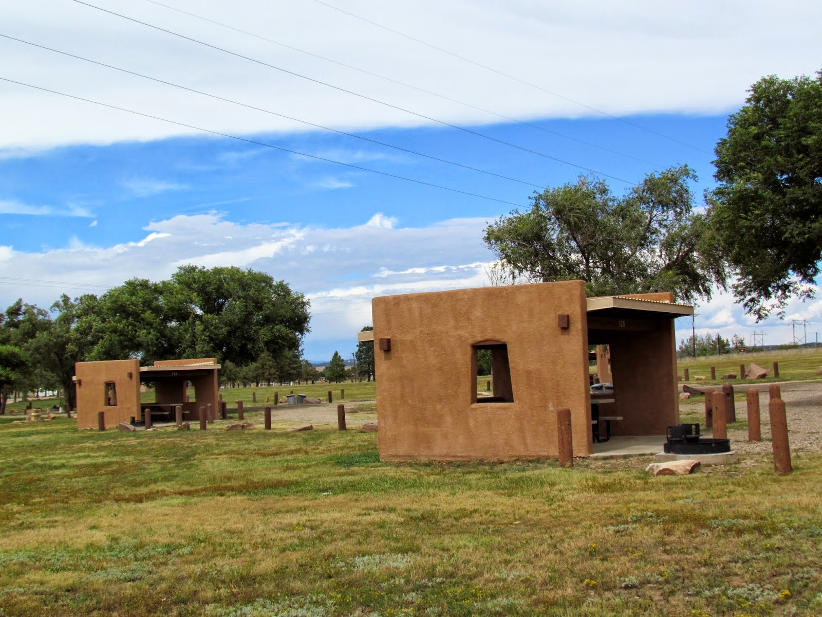 |
| covered ramadas at Storrie Lake |
A few days later, my good friends Kathy and Randy (from Iowa) were traveling through Colorado and headed into New Mexico and we’ve met up again for a few days. Decided on a day trip to Taos NM. We of course took all the country/forest roads leading up there and stopped at another state park called Morphy Lake State Park. It’s outside of the small community of Mora. An adventure for sure.
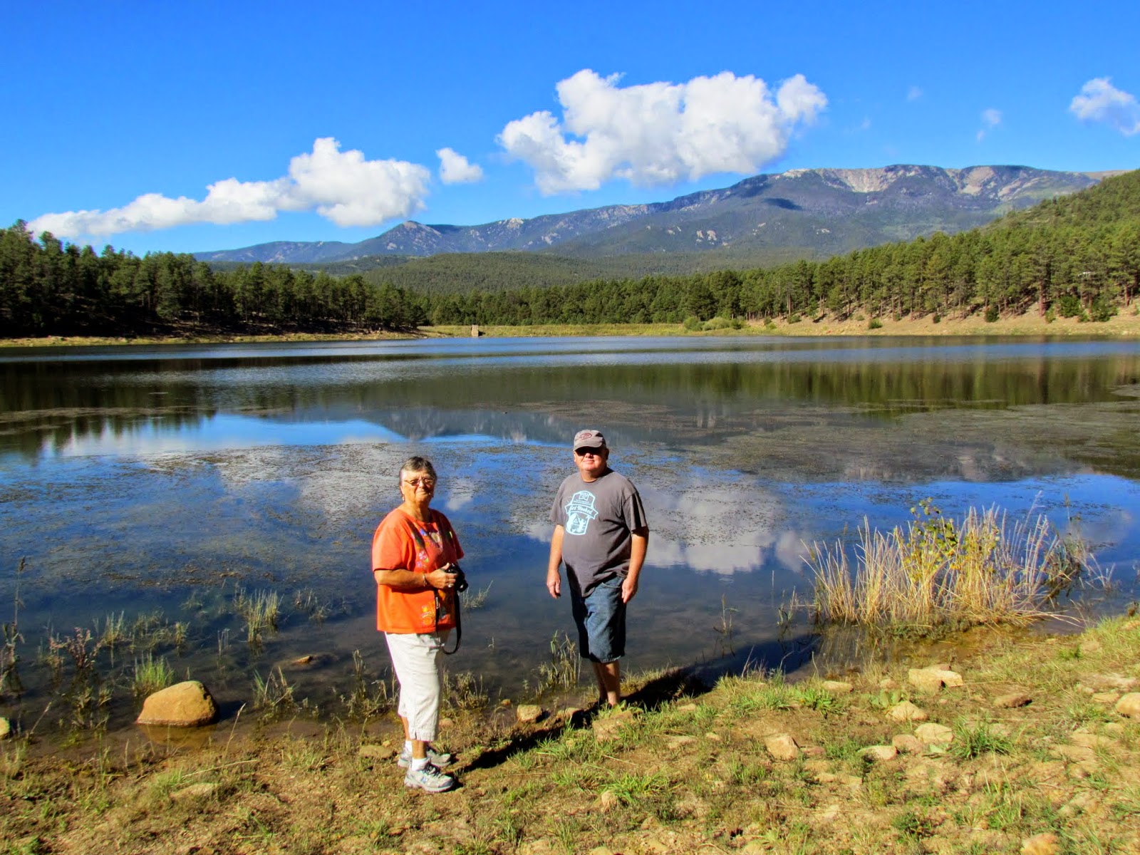 |
| Randy and Kathy |
Old adobe buildings along the way, the park is located off of a narrow one lane road up a hill and there it was, among all the pine trees and a small mountain lake. The campsites were small and not suitable for our larger Rv’s. I think the trailer limit was 18 feet. No elect or water at the sites, but wonderful rugged campsites.
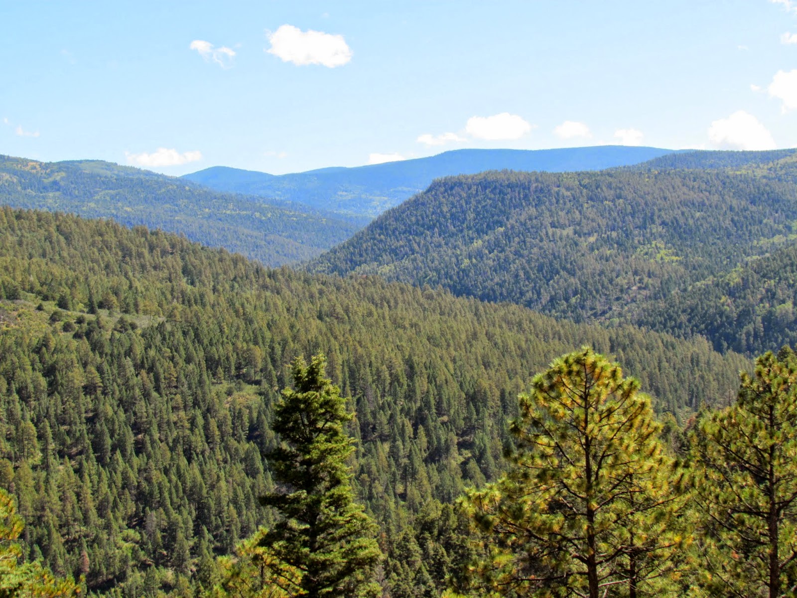 |
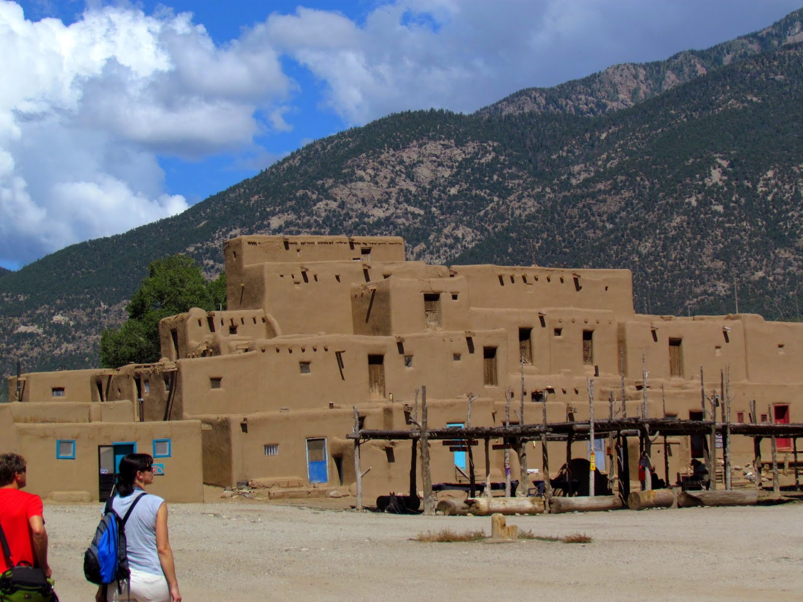
| view before entering Taos NM |
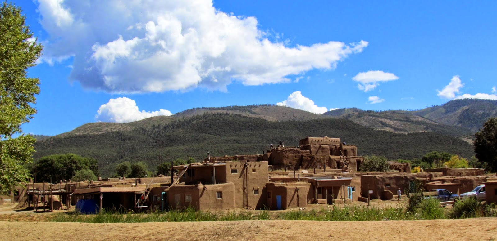
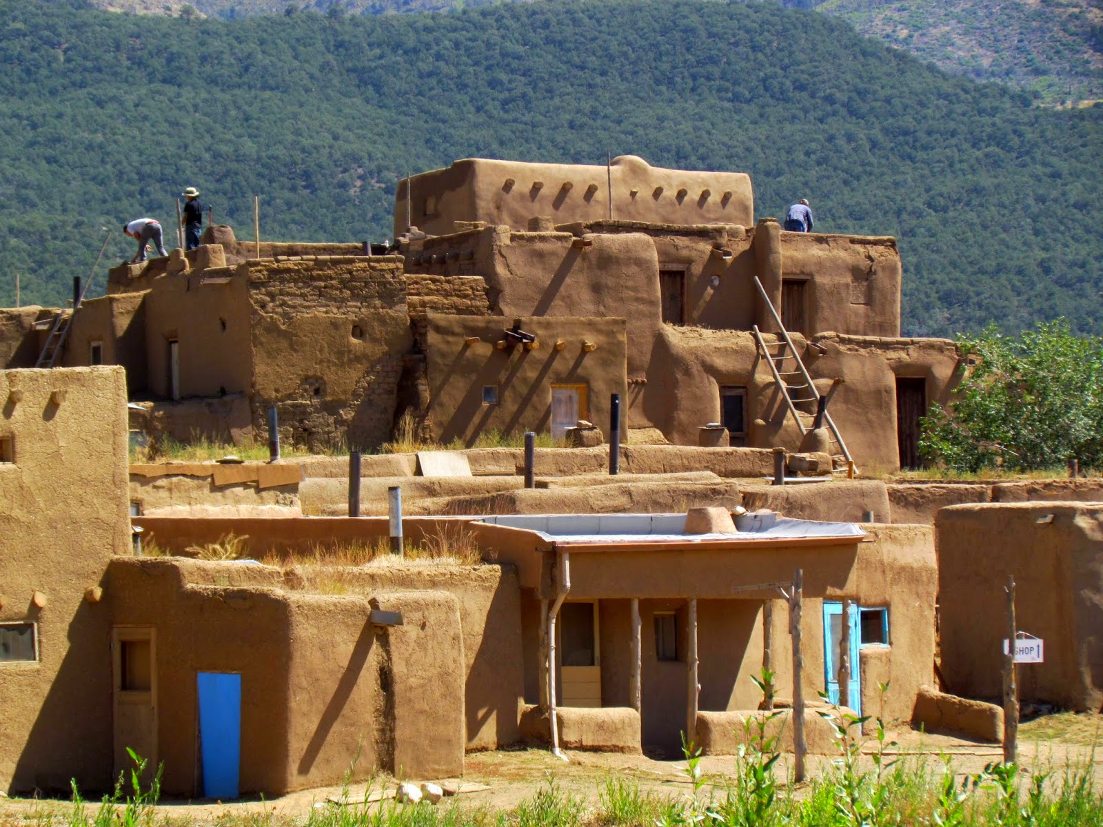
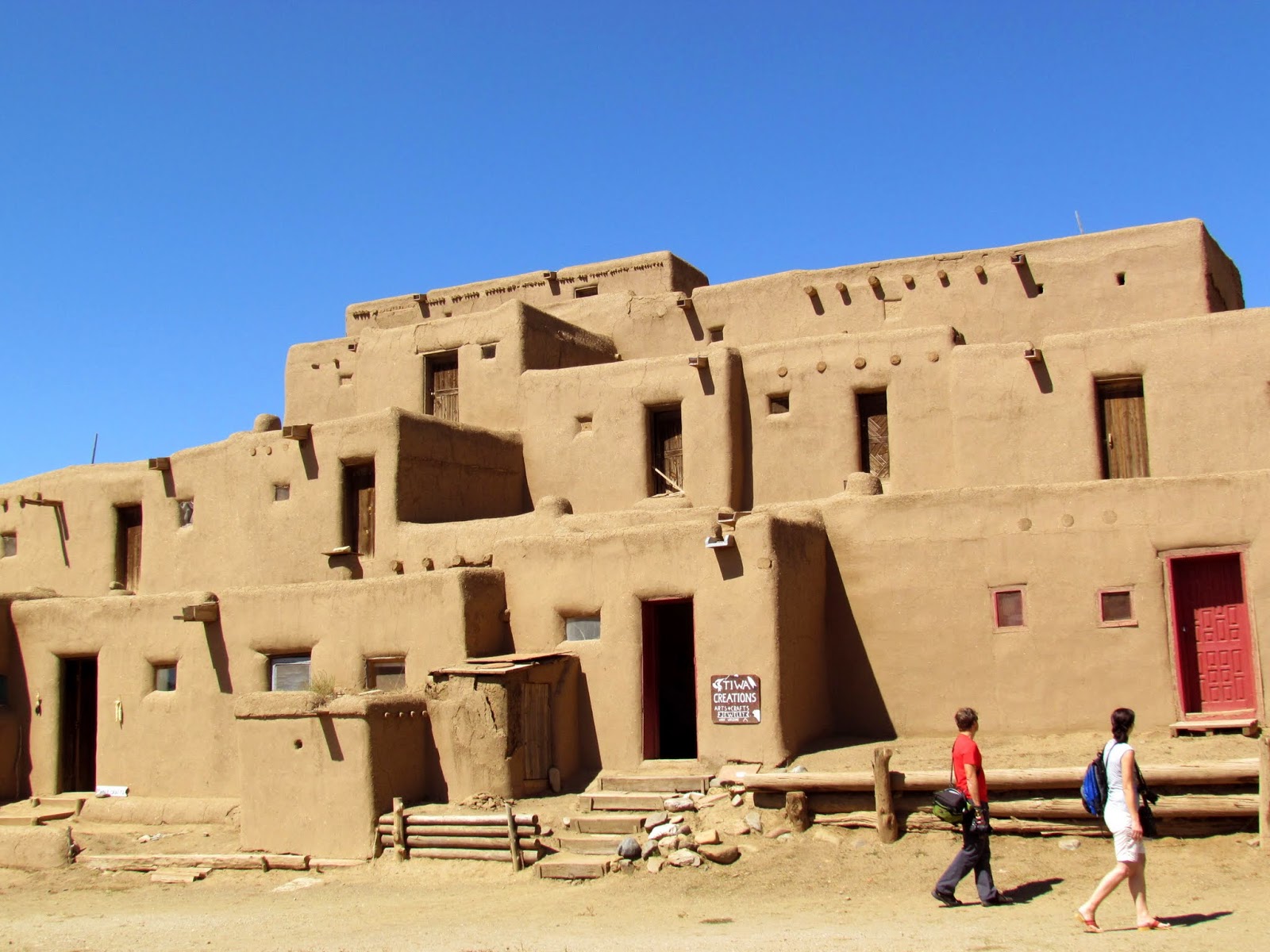
Then it was back on the road to Taos. An artsy community on the edge of a large plateau surrounded by mountain ranges. Elevation is around 8,500 ft. After lunch at “Orlando’s” a 5 star Mexican restaurant with really good authentic Mexican food we headed to the Taos Pueblo. It’s a 1,000 year old adobe structure(s) that have been continuously occupied by the same native Indian tribe. Listed as the only "Living" World Heritage Site. In the early 1600’s the Catholic priests forced them to become Christians, enslaved them in order to “civilize” them. The Spanish came in the 1700’s and put more restrictions and controls on the native Indians. Eventually Europeans moved in as the area came under U.S. control. But they survived and survive today, living their native ways along side their now Catholic roots and modern culture that surrounds them daily. Walking through the community, we were permitted to take pictures of the Pueblo itself, avoiding taking pictures of the residences. Many of the first floor dwellings are now shops for selling native made arts and crafts. The Pueblo stands as it did 1,000 years ago with the exception of small windows and doors being added. As each room would have been accessed via an opening in the roof and entry made by ladders. None of the small rooms were originally connected. Electricity and piped in water are prohibited in the pueblo buildings. Continuous work on rebuilding and re-facing the adobe exteriors is required with the original mud, straw and water mixture. We were able to see a number of native American workers plastering and repairing walls. They told us the Labor Day weekend was filled with visitors and many of the shops sold out of much of the pottery, art and jewelry items that sustain their livelihood. The adobe village and 100,000 acres of land owned by the Taos Pueblo tribe is considered sacred.
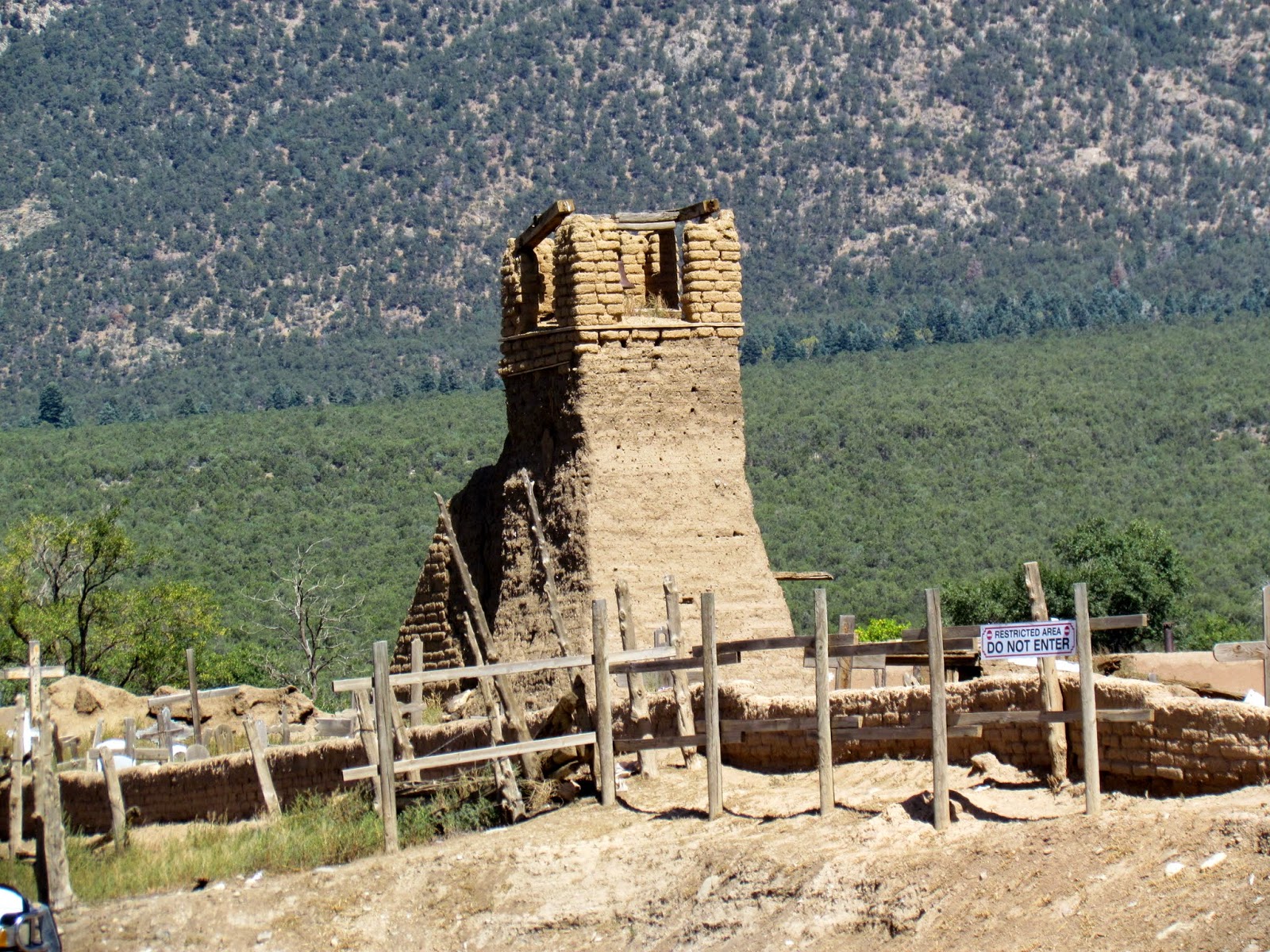 |
| remains of the first missionary church |
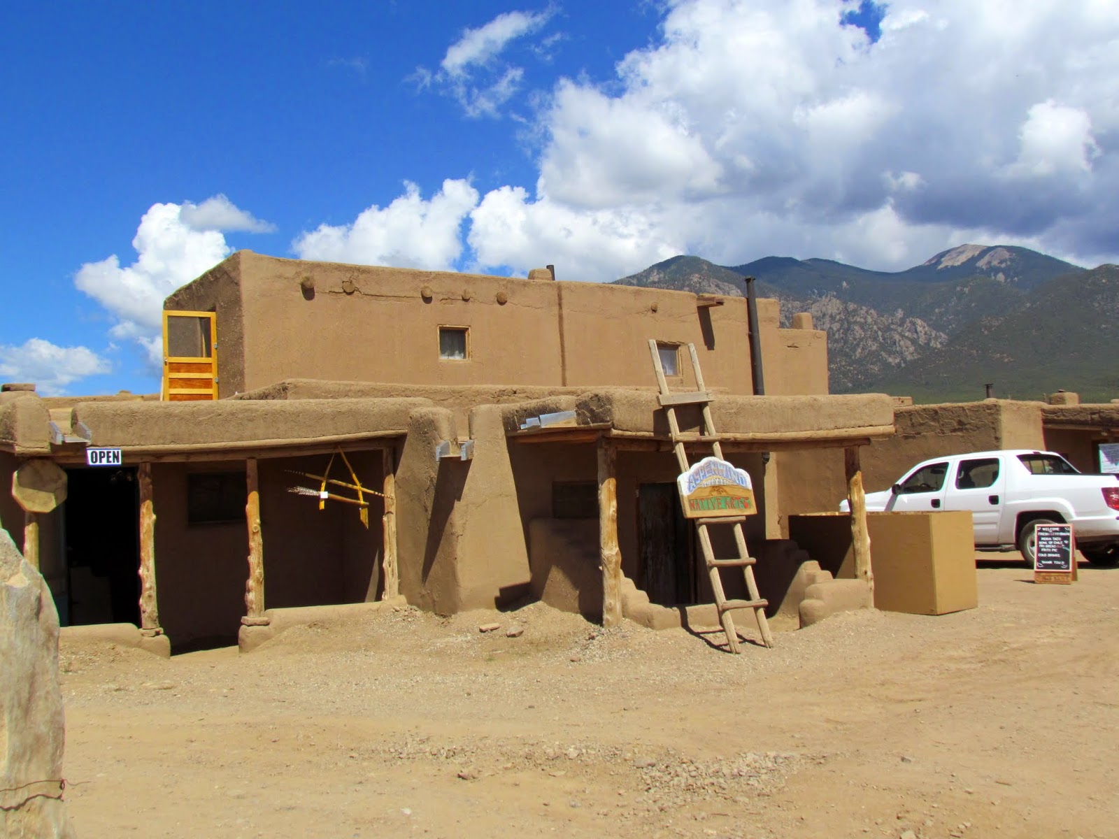 |
| first glimpse of the Pueblo |
- 150 Indians live in the north and south Pueblo fulltime
- Other families that own homes in the pueblo buildings live in summer homes near their crops or in modern homes on pueblo lands only using the pueblo during special tribal ceremonies
- 1900 Taos Indians live on Taos Pueblo lands.
- The pueblo is 5 stories at it’s highest point
 |
| there are two large Pueblo's, a North and a South pueblo |
 |
| the South Pueblo |
 |
| the South Pueblo |
 |
| the North Pueblo |
 |
| mud, straw and water |
Well, that was worthy of the drive up through the San De Cresto Mountains and a couple of National Forests. We drove over to Angel Fire and then south on what was expected to be a straighter road leading back to Mora and Las Vegas. Ha. Were we fooled. The road became very narrow, twisting and looked to be at least a hundred years old, as we traveled through rugged forested mountains, country streams flowing along side the road, with Kathy asking every couple miles, “are you sure we’re on the right road?” Even had to pull off the roadway to permit a few vehicles to pass coming in the opposite direction. It turned out to be quite an adventure and we all commented that we were glad we were NOT towing our campers.
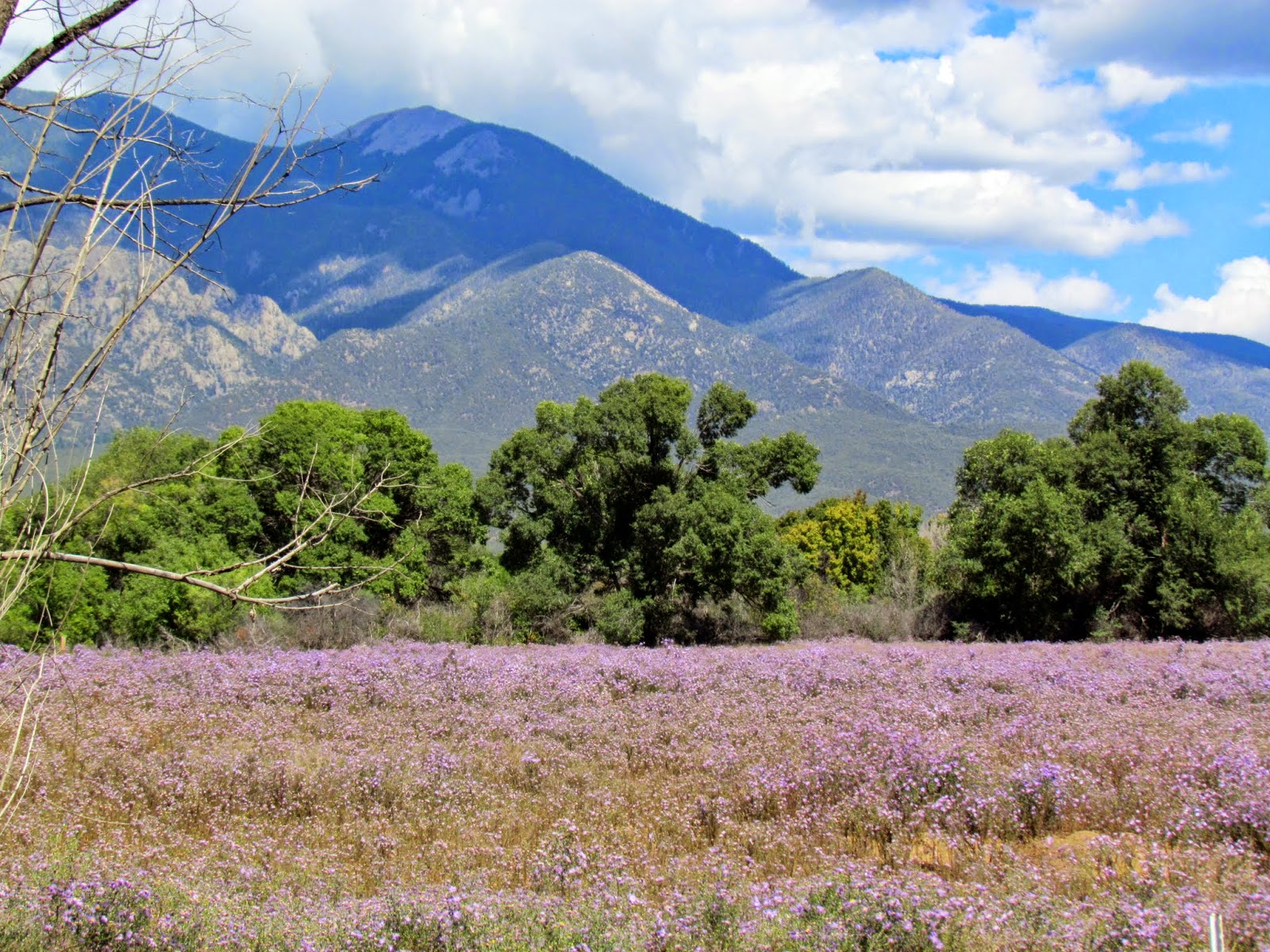 |
| Mountain Aster |
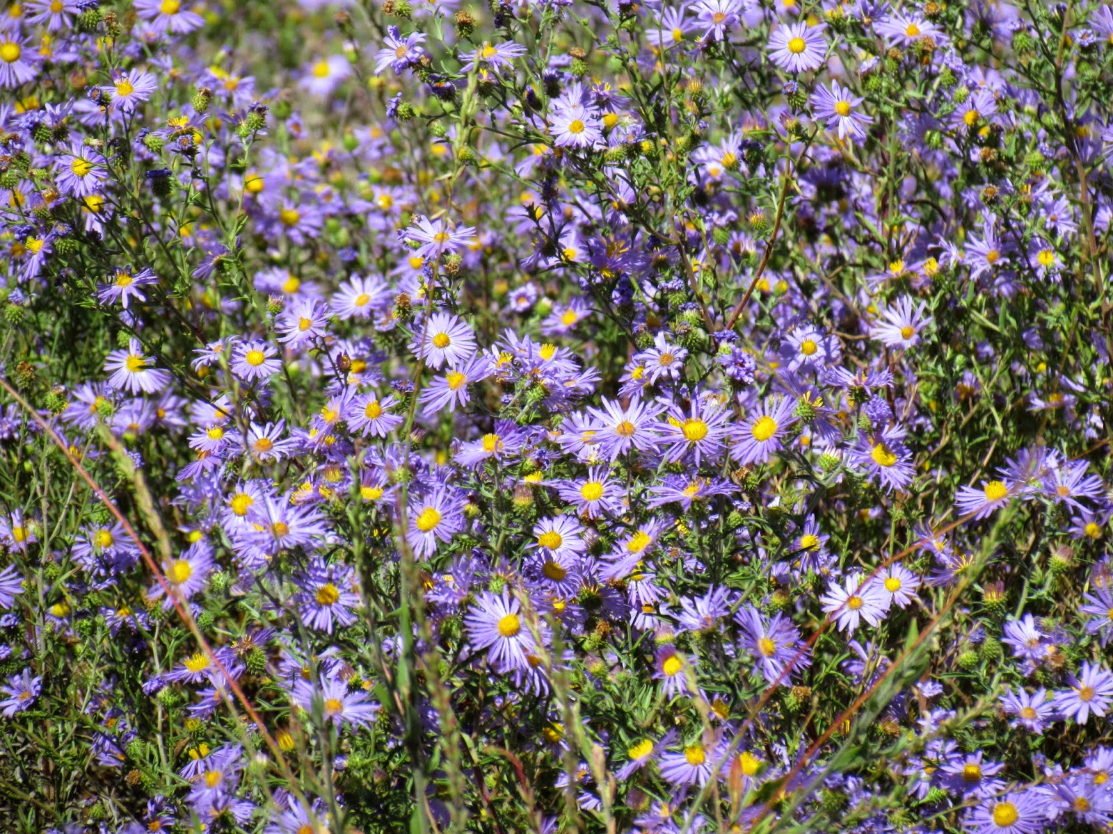 |
| large fields of wild aster |
The adventure will continue in this area for a few more days before moving over the Cochiti Lake south of Santa Fe. All areas I’ve visited a number of times in the past.
more photos on
PICASA
You'll have to view the Picasa photos to see more of the Las Vegas town pictures...


No comments:
Post a Comment